Katugastota sits on the northern bank of the Mahaweli River, roughly 5 km from Kandy city centre, making it one of the most practical bases for exploring Sri Lanka's hill-country heartland. At around 471 m above sea level, the town enjoys a cooler, more temperate climate than the lowland coast, and its position along the A9 highway gives travellers easy onward access to Dambulla, Habarana, and the Cultural Triangle. Postal code: 20800.
Where exactly is Katugastota, and how do I get there from Colombo?
Katugastota lies approximately 119 km northeast of Colombo, following the A1 highway through Kegalle and up into the Kandy highlands. By road the journey typically takes around three to four hours depending on traffic, with the steepest portion coming after Peradeniya. From Bandaranaike International Airport (CMB) in Katunayake, the drive is roughly 135 km and can take three to four-and-a-half hours.
The town is also served by regular trains on the Colombo–Badulla main line; travellers disembark at Kandy station and continue by tuk-tuk or taxi to Katugastota. Private transfers arranged through Lakpura remain the most flexible option, particularly for families or visitors with luggage.
What is Katugastota like as a town?
Katugastota functions primarily as a residential and commercial suburb of Kandy, with a busy market area, a well-regarded government hospital, and several schools that serve the broader district. The Mahaweli River frontage lends the town a scenic quality that distinguishes it from the busier arteries closer to Kandy's commercial core. Locals cross the river via the Katugastota Bridge, a practical link that also offers views upstream toward forested hills.
Because it sits slightly apart from the main tourist corridor, Katugastota gives visitors a quieter, more everyday feel of Kandyan provincial life — a contrast to the heritage precincts around Kandy Lake and the Temple of the Tooth Relic.
What can I do near Katugastota?
The town's greatest asset is its proximity to Kandy's full range of cultural and natural attractions. Most of what the hill-country region is celebrated for sits within 30 minutes of Katugastota by road.
- Temple of the Tooth Relic (Sri Dalada Maligawa): Sri Lanka's most sacred Buddhist shrine, housing what is venerated as the tooth relic of the Buddha. Puja ceremonies are held three times daily and are open to visitors.
- Peradeniya Royal Botanical Gardens: One of Asia's finest botanical gardens, covering around 147 acres and featuring an impressive orchid house, a collection of palms, and centuries-old specimen trees.
- Kandy Esala Perahera: Held annually in July or August, this is one of the grandest cultural pageants in South Asia — ten nights of processions featuring elaborately decorated elephants, Kandyan dancers, and fire performers.
- Heeloya Village Trek: A guided walk through rural Kandyan countryside, passing paddy fields, spice gardens, and traditional homesteads — a grounded introduction to village life.
- Sri Lankan Crafts and Spices Tour: A half-day experience that combines workshops in traditional lacquerwork and batik with visits to ayurvedic spice gardens on Kandy's outskirts.
How far is Katugastota from other major Sri Lankan destinations?
The town's highland position makes it a natural staging point for both the Cultural Triangle to the north and the tea-country routes heading southeast toward Nuwara Eliya and Ella.
| Destination | Approximate Road Distance | Typical Drive Time |
|---|---|---|
| Kandy city centre | 5 km | 15–20 min |
| Colombo | ~119 km | 3–4 hrs |
| Dambulla | ~70 km | 1.5–2 hrs |
| Nuwara Eliya | ~75 km | 2–2.5 hrs |
| Ella | ~140 km | 4–5 hrs |
| Sigiriya | ~90 km | 2–2.5 hrs |
When is the best time to visit Katugastota?
The Kandy region enjoys a relatively even climate year-round thanks to its elevation, though two distinct monsoon periods affect the hill country. The southwest monsoon (May to September) brings heavier rainfall to the western slopes, while the northeast monsoon (October to January) is generally milder in Kandy than on the coast. The driest and most settled period for inland hill-country travel is typically January to April.
Visitors with an interest in Buddhism and Sri Lankan ceremony should note that the Kandy Esala Perahera falls in late July or August — accommodations in and around Katugastota book out quickly during this period, so advance planning is advisable.
Where can I stay in Katugastota?
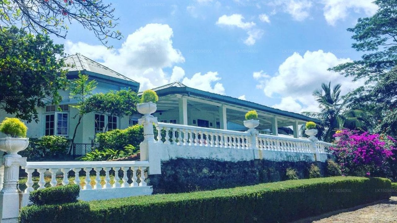
Lakpura lists the Colonial Residence Kandy Boutique Bungalow in the Katugastota area — a heritage-style property that offers a more intimate alternative to the larger hotels concentrated nearer Kandy's commercial centre. Several Kandy-based properties also fall within a short transfer of Katugastota, giving visitors a wider range of accommodation styles from boutique guesthouses to larger resort properties.
How do I arrange transfers to and from Katugastota?
Lakpura provides private door-to-door intercity transfers to and from Katugastota, including airport arrival and departure runs and connections to all major Sri Lankan destinations. Fares are quoted per route at the time of booking. All vehicles in the Lakpura transport fleet are air-conditioned and driven by experienced local drivers; chauffeur-guides with English-language commentary are available for multi-day itineraries.
Nearby places
10 places within about 25 km, nearest first.