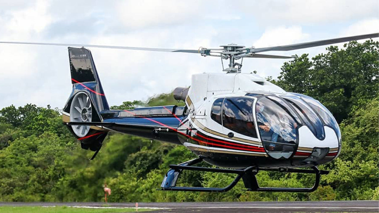
Polgolla Reservoir sits on the Mahaweli River just a few kilometres north of Kandy city, tucked into a narrow valley where the river curves through forested hills. The reservoir is best known to most visitors as a scenic backdrop on the road leading out of Kandy, but it also has a lesser-known aviation connection: a small private airstrip in the Polgolla area that has historically served government and charter operations. For travellers, the reservoir itself — and the dam that created it — is the main draw.
What is the Polgolla Reservoir and how was it formed?
The Polgolla Dam was constructed across the Mahaweli River as part of Sri Lanka's Mahaweli Development Programme, one of the largest irrigation and hydropower projects the country has undertaken. The dam diverts water through a tunnel to the Ukuwela Power Station, contributing to the national electricity grid. The reservoir formed behind the dam is relatively compact compared to the larger Mahaweli impoundments further downstream, but its setting — ringed by jungle-covered ridges and overlooked by small villages — makes it quietly appealing.
The structure itself is a diversion weir rather than a tall arch dam, so the water surface remains relatively calm and the surrounding landscape stays green year-round. Fishermen work the edges of the reservoir from small boats, and the birdlife along the shoreline can be surprisingly varied in the early morning.
Where exactly is Polgolla, and how do I get there from Kandy?
Polgolla is located roughly 5 kilometres north of Kandy along the A9 highway, the main road that runs toward Kurunegala and eventually Jaffna. From Kandy city centre the drive typically takes under 15 minutes, making a stop at the reservoir easy to fold into a broader Kandy itinerary. Tuk-tuks from Kandy are a practical option for the short distance. If you are self-driving, the dam and reservoir are visible from the road and there is roadside space to pause.
For those with a Kandy city tour already planned, Polgolla can be added as a brief detour on the way in or out of town without significantly extending the journey.
What is the Polgolla airstrip used for?
The small airstrip associated with the Polgolla area is not a commercial airport and does not handle scheduled passenger flights. It has historically been used for light aircraft and helicopter operations, primarily for government or survey purposes connected to the Mahaweli project infrastructure. Visitors should not expect commercial air services here. Sri Lanka's domestic air connections operate through Ratmalana Airport near Colombo, Koggala Airport near Galle, and a small number of regional airstrips. If you are researching domestic flight options for your Sri Lanka itinerary, those are the relevant departure points.
What can I see and do near Polgolla Reservoir?
The reservoir is a stop rather than a full-day destination for most travellers, but there are worthwhile activities in the immediate vicinity and within easy reach.
- Dam viewpoint: The road across or beside the dam offers a clear view of the Mahaweli River valley and the forested hills above Kandy. Early morning light is best.
- Birdwatching: Waterbirds including kingfishers, herons, and cormorants are commonly seen along the reservoir edges.
- Kandy attractions: The Temple of the Tooth, the Royal Botanical Gardens at Peradeniya, and the Kandy Lake are all within 30 minutes of Polgolla.
- Randenigala Dam: For visitors interested in Sri Lanka's Mahaweli infrastructure, the Randenigala Dam further upstream is a more dramatic structure and worth the additional drive.
- Hot-air ballooning: The broader Kandy hill-country region is one of the areas where hot-air ballooning over Sri Lanka's landscapes is available through specialist operators.
When is the best time to visit Polgolla Reservoir?
Because Polgolla lies in the Kandy hill zone, it receives rainfall from both the south-west monsoon (roughly May to September) and the north-east monsoon (roughly October to January). The reservoir is accessible year-round, but the dry season months of January through April and again July through August tend to offer clearer skies and easier road conditions. The surrounding hills are at their greenest in the weeks after monsoon rains — a different but equally rewarding look.
If you are visiting Kandy in July or August, the city hosts the Esala Perahera Festival, one of Asia's great religious processions, and combining that with a morning at the reservoir makes for a well-rounded itinerary.
Is the Polgolla area suitable for a family visit?
Yes, in a low-key sense. There are no ticketed attractions at the reservoir itself, so it suits travellers who appreciate natural scenery without a packaged experience. Children tend to enjoy watching the fishing activity on the water and the view from the dam structure. The road is busy with local traffic, so walking along the highway requires care. The area is calm and generally safe for family groups.
What should I know about the broader Mahaweli River?
The Mahaweli is Sri Lanka's longest river, rising in the central highlands near Horton Plains and flowing north and east to the sea near Trincomalee. Polgolla is one of several points where the river has been dammed or diverted as part of the Mahaweli Development Programme, which was designed to expand irrigated agriculture in the dry zone and generate hydroelectric power. Understanding this context adds meaning to a stop at Polgolla — it is not simply a scenic reservoir but a working piece of national infrastructure that reshaped how water is distributed across the island.
Travellers who want to explore the Horton Plains National Park, near the Mahaweli's headwaters, will find the river's journey from those high, misty grasslands to the calm water at Polgolla a compelling thread connecting very different Sri Lankan landscapes.
Nearby places
10 places within about 25 km, nearest first.
Related reading
7 pages on closely related subjects.