Diyavini Ella is one of Sabaragamuwa Province's lesser-known waterfall gems — a slender, powerful cascade tucked inside forested hills on the eastern fringe of Balangoda town. Fed by the Diyawini Oya stream, the falls plunge roughly 30 to 60 metres over a sheer rock face before disappearing into a boulder-strewn pool below. Because the site sits well off the main tourist circuit, visitors who make the effort are typically rewarded with genuine solitude and unobstructed views of the surrounding riparian forest.
Where exactly is Diyavini Ella?
The falls lie within Diyawinna village, approximately 8 km east of Balangoda in the Ratnapura District. To reach them, take the Balangoda–Kapugala road and turn south toward Godakawela, then follow signs for Diyawinna. A useful landmark is the Devagiri Raja Maha Viharaya — a working Buddhist temple at the edge of the trail network — which marks the start of the footpath that climbs to a viewpoint above the cascade. The temple sits in a quiet clearing and is worth a brief visit in its own right before you continue toward the falls.
Diyavini Ella sits in a broader pocket of upland scenery that also includes the Sinharaja Forest Reserve to the south-west, so travellers exploring that UNESCO World Heritage rainforest often combine the two in a single loop through Sabaragamuwa.
What can visitors see and do at Diyavini Ella?
The main draw is the falls themselves. A well-trodden path from the Devagiri Vihara leads to an upper viewpoint where you look directly across at the full curtain of water — the preferred spot for photography when the light falls from the east in the morning. For those comfortable with rougher terrain, a steeper trail descends toward the base, where mist hangs over the plunge pool and the surrounding rock faces are coated in moss and small ferns.
- Photography: The upper viewpoint gives a broad frame of the falls against forested hillsides. Morning light (before 10 a.m.) generally works best.
- Nature walks: The approach trail passes through dense secondary forest with birdlife typical of Sri Lanka's wet hill zone — look for endemic species such as the Sri Lanka white-eye and the brown-capped babbler.
- Temple visit: Devagiri Raja Maha Viharaya adds a cultural dimension to what is otherwise a nature-focused excursion. Dress modestly and remove footwear before entering the temple grounds.
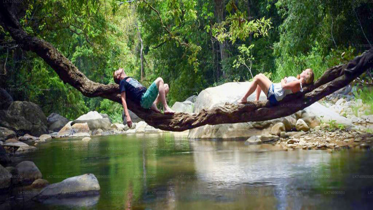
- Quiet contemplation: Low visitor numbers mean you can sit by the stream without the crowds that gather at more publicised falls elsewhere in the country.
When is the best time to visit Diyavini Ella?
The Sabaragamuwa interior receives rainfall during both monsoonal cycles, but the heaviest flows arrive between May and August during the south-west monsoon, and again around October and November. Visiting during or shortly after these wet periods ensures the Diyawini Oya is running at full strength and the foliage around the falls is at its lushest. The trade-off is that some sections of the descent trail can become slippery and require care.
During the drier months — roughly January through March — the stream volume drops noticeably, and certain lower paths may not be accessible without scrambling over dry rock. The falls do not stop flowing entirely, but the visual impact is considerably reduced. Whatever the season, check local weather before setting out: sudden rainfall in the hills can raise water levels quickly.
How do I get to Diyavini Ella from Colombo or nearby towns?
Balangoda is the natural base. From Colombo, the drive via the Ratnapura road (A4) takes around three to four hours depending on traffic. From Ratnapura town, Balangoda is roughly 35 km further east along the same highway — typically under an hour. From Balangoda, a tuk-tuk or private vehicle can take you the remaining 8 km to Diyawinna village; there is no regular bus service that runs directly to the falls.
Travellers coming from the Horton Plains area or Nuwara Eliya can approach from the east via Belihuloya, adding the Diyavini Ella detour to a return journey toward the lowlands. The road through Belihuloya Gorge is scenic and the route is well-paved as far as Balangoda.
| Starting point | Approximate distance | Approximate drive time |
|---|---|---|
| Colombo | ~155 km | 3.5–4.5 hours |
| Ratnapura | ~45 km | 1–1.5 hours |
| Balangoda | ~8 km | 15–20 minutes |
| Belihuloya | ~20 km | 30–40 minutes |
What should visitors bring and how should they prepare?
The trail from Devagiri Vihara is not technically demanding for the upper viewpoint, but footwear with grip is strongly recommended — particularly if the path is wet. Bring enough drinking water for a two-hour round trip on foot, as there are no facilities at the trailhead. A light rain jacket is sensible in any season given the microclimate of the hills.
- Sturdy closed-toe shoes or trail sandals with a grip sole
- At least 1.5 litres of water per person
- Insect repellent — the forested approach harbours leeches during wet months
- A change of clothing if you plan to descend to the base pool
- Modest attire for the temple visit (shoulders and knees covered)
What else is nearby that is worth combining with a visit?
Balangoda itself is a quiet market town with a handful of guesthouses and local restaurants serving rice-and-curry. The surrounding countryside is planted with rubber, tea, and paddy, and the drive through it is pleasant in its own right. A short detour south-west from Balangoda toward Rakwana leads into the buffer zone of the Sinharaja Forest Reserve, where guided walks into the rainforest can be arranged through local operators.
Further afield, the Elephant Transit Home at Udawalawe — run by the Department of Wildlife Conservation — is roughly 40 km south of Balangoda and makes a logical half-day addition for wildlife enthusiasts. Rawanagala, a dramatic rock outcrop associated with local folklore, is also accessible from the same general corridor and offers a rewarding short climb with panoramic views.
Nearby places
12 places within about 25 km, nearest first.