Hidden within the dry-zone scrub forest at the base of Ritigala Mountain, the Ritigala Archaeological Complex is one of the most architecturally unusual monastic sites in Sri Lanka. Unlike the towering dagobas and ornate statuary of Sigiriya or the grand civic ruins of Polonnaruwa, Ritigala is deliberately austere — a place built by and for forest-dwelling ascetic monks who rejected decoration in favour of contemplation. That restraint is precisely what makes it compelling.
Where is Ritigala Archaeological Complex?
The site occupies the eastern slopes of the Ritigala mountain range in Sri Lanka's North Central Province. The car park and entrance lie roughly 20 km northwest of Habarana by road. From Habarana, take the A11 (Habarana–Anuradhapura Road) and turn off after approximately 12 km; an 8.5 km gravel road then leads to the site entrance.
| Departure point | Approximate distance |
|---|---|
| Anuradhapura New Town | 55 km |
| Habarana | 20 km |
| Polonnaruwa | 63 km |
| Kandy | 113 km |
| Trincomalee | 105 km |
Most visitors combine Ritigala with a stay in Habarana or Sigiriya, both of which offer good accommodation within easy driving distance.
What is the history of Ritigala?
Ritigala has been inhabited since at least the third century BC. Ancient chronicles link the site to King Pandukabhaya (traditionally dated 437–367 BC), who is said to have ordered the construction of the large reservoir that still stands near the entrance. Later, the site was developed as a forest hermitage — a aranyasena — by the Pamsukulika sect, a community of monks who deliberately distanced themselves from urban monasteries. Their disdain for ostentation is written into the architecture: no dagobas, no grand sculptures, only stone platforms and paved meditation paths nestled among forest trees.
The complex appears in the Mahavamsa, the fifth-century Pali chronicle of Sri Lankan history, confirming its importance in early Buddhist monastic culture. The UNESCO-recognised cultural landscape of the North Central Province places Ritigala within a broader network of ancient sites that shaped Sri Lanka's identity over two millennia.
What can you see at the Ritigala Archaeological Complex?
The Reservoir
The first structure you encounter is a large polygonal reservoir with a perimeter of around 366 metres. Tradition holds that it dates to the reign of King Pandukabhaya, making it among the oldest man-made water bodies in Sri Lanka. Its position at the monastery entrance was intentional: pilgrims and monks would perform a ritual bath before proceeding to the sacred precincts. A stone causeway crosses the reservoir, and the customary approach was to walk clockwise along the bank to reach the far side.
The Ancient Hospital
Among the most evocative ruins are the remains of an Ayurvedic hospital, a reminder that Sri Lankan forest monasteries were often centres of medical knowledge as well as spiritual practice. Visible features include a stone bathing trough used for therapeutic immersion and grinding stones once used to reduce roots and herbs to medicinal powder. Monks of the Pamsukulika sect were particularly skilled in herbal medicine, and this facility would have served both the monastic community and lay visitors.
The Double Platforms
Around fifty stone terraces survive across the complex. Each terrace was built as a pair of raised platforms — a double-platform arrangement characteristic of forest hermitages throughout ancient Sri Lanka. The platforms are orientated east–west, with a stone bridge connecting each pair. Scholars believe the structures once supported timber-and-thatch buildings used as meditation cells, assembly halls, and spaces for teaching. Their simplicity and uniformity underline the egalitarian ethos of the ascetic community that built them.
The Paved Paths and Traffic Circles
Connecting the various terraces is a network of stone-paved paths, some still remarkably intact. Where paths intersect, large circular slabs form what archaeologists have described as traffic circles — broad stone roundels from which two or more walkways radiate. These circular junctions are an elegant practical solution as well as a distinctive architectural feature unique to Ritigala-style hermitages. Walking the paths today, particularly in the early morning when the forest is quiet, gives a clear sense of the spatial logic the monks intended.
What wildlife can you see at Ritigala?
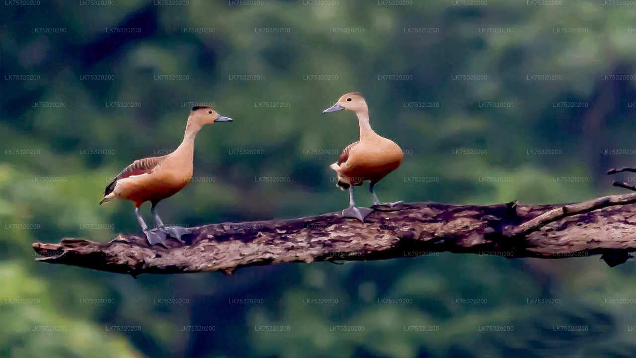
The archaeological zone sits within the Ritigala Strict Nature Reserve, a protected dry-zone forest. The forest is home to a range of wildlife, including Sri Lankan grey langurs, axis deer, and a healthy population of endemic bird species. Birdwatchers in particular find the site rewarding: the combination of dense canopy, water sources, and low visitor numbers makes early-morning sightings of forest birds far more predictable here than at more crowded attractions. Wilpattu National Park, Sri Lanka's oldest national park, lies roughly 60 km to the west and is a natural addition to any itinerary that includes Ritigala.
When is the best time to visit Ritigala?
The site is accessible year-round, but the dry season from May to September offers the most comfortable conditions for walking the forest paths. Temperatures in the North Central Province can climb steeply by midday, so arriving at the entrance by 7:00–8:00 am is advisable. The post-monsoon months of January and February bring lush greenery and are popular with birdwatchers. Avoid midday visits between June and August, when the heat in the exposed areas of the site can be intense.
How do I get to Ritigala from Colombo?
The most practical approach is to drive or arrange a private transfer. From Colombo, the route runs north on the A1 to Kurunegala, then northeast through Dambulla and Habarana, where you pick up the A11 toward Anuradhapura. Total driving time is roughly three and a half to four hours. Habarana is the most convenient overnight base: it sits within 20 km of the site and also provides easy access to Sigiriya, Dambulla, and Wilpattu. There is no public bus service to the site entrance, so a hired vehicle is the only realistic option for independent travellers.
Practical visitor information
- Entry: A Cultural Triangle entry ticket or a site-specific ticket is required. Confirm the latest fee structure at the Central Cultural Fund office or with your tour operator, as fees are revised periodically.
- Footwear: Wear shoes you don't mind getting dusty — the gravel road and forest paths are uneven.
- Guide: An on-site Archaeological Department guide is often available; arranging one in advance is worthwhile, as the site layout is not self-explanatory without context.
- What to bring: Water (no vendors at the site), sun protection, and insect repellent.
- Photography: The soft light of early morning is ideal for the stone platforms, many of which are framed by large trees.
Nearby places
9 places within about 25 km, nearest first.
- Ritigala Kanda Pokuna8 km
- Ritigala Mountain9 km
- Ancient Cities11 km
- Kushtarajagala11 km
- Padikemgala11 km
- Thambuttegama Railway Station12 km
- Ritigala City13 km
- Bambaragasthalawa16 km
- Mahaweli River20 km
Related reading
2 pages on closely related subjects.