Perched at over 1,800 metres in Sri Lanka's central highlands, the wind farm at Ambewela is one of the country's most visible commitments to renewable energy. The turbines rise from rolling green pastures that are already well known for dairy farming and misty hill scenery, making this an unusual combination of industrial infrastructure and natural landscape that draws travellers as much as it impresses engineers.
Why was Ambewela chosen for a wind farm?
Geography does most of the work here. Ambewela sits on an exposed plateau between the mountain ridges that channel the south-west and north-east monsoon winds across the island. The altitude guarantees consistently strong airflow for much of the year, while the open grasslands mean there are few natural obstacles to interrupt it. These conditions make the site notably more productive than lower-elevation alternatives, and the relatively flat terrain kept construction and maintenance costs manageable.
The cool, damp climate that makes the area famous for its Ceylon Green Tea estates is a direct product of the same atmospheric dynamics that power the turbines — high altitude, persistent cloud cover, and reliable wind from both monsoon seasons.
What does the wind farm look like up close?
The turbines are large-scale, horizontal-axis machines of the kind used in commercial wind farms worldwide. Their white towers and slowly rotating blades stand in marked contrast to the green hillsides and, on clear days, read clearly against the blue sky for several kilometres in any direction. On misty mornings — common here — they emerge from low cloud in a way that many visitors find unexpectedly atmospheric.
The surrounding landscape remains agricultural. Ambewela Farm, one of Sri Lanka's largest dairy operations, occupies the same plateau, so it is common to see Holstein cattle grazing in sight of the turbines. The juxtaposition of traditional highland farming and modern energy infrastructure gives the area a character that is hard to find elsewhere on the island.
How does the Ambewela wind farm contribute to Sri Lanka's energy goals?
Sri Lanka has set formal targets for increasing the share of renewable energy in its national grid. Wind, along with hydropower and solar, is central to that plan. The Ambewela facility feeds electricity directly into the national grid, reducing dependence on imported fuel and lowering carbon emissions per unit of power generated.
The site is part of a broader pattern of wind energy development in the central highlands and along the north-western and southern coasts, where projects of varying scales have been commissioned over the past two decades. Ambewela remains one of the more established inland installations and is often cited in discussions of highland renewable energy potential.
Can visitors access the wind farm?
The turbines are visible from the public road that runs through Ambewela, and most visitors are content to stop and photograph them from roadside viewpoints. There is no formal public visitor centre or guided tour of the wind farm infrastructure itself, so access to the turbine base areas depends on current operator permissions. Travellers should not expect an interpretive experience of the kind found at some European wind energy sites.
What the area does offer freely is its wider scenery. The road from Ella through Pattipola and on to Ambewela passes through some of the most open highland terrain in the country, with long views across valleys and occasional glimpses of the turbines as you climb. Stopping at a roadside tea stall and watching the blades turn is a quietly rewarding half-hour.
How do I get to Ambewela from Colombo or Ella?
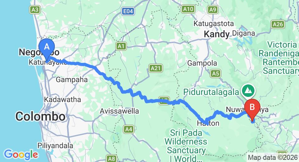
Ambewela lies roughly 12 kilometres south of Nuwara Eliya along the A5 highway. From Colombo, the drive through Kandy and Nuwara Eliya typically takes around five to six hours depending on traffic and road conditions. From Ella, the journey is closer to one hour by road.
The train route between Ella and Nuwara Eliya (Nanu Oya station) passes close to Ambewela and offers one of the most photographed rail journeys in South Asia. Travelling by train lets you observe the turbines from a different angle as the line curves through the highlands — a perspective that road travellers miss entirely.
| Starting point | Approximate distance | Typical travel time | Recommended mode |
|---|---|---|---|
| Colombo | ~180 km | 5–6 hours | Private car or train via Kandy |
| Kandy | ~95 km | 3–4 hours | Private car or train |
| Nuwara Eliya (Nanu Oya) | ~12 km | 20–25 minutes | Private car or tuk-tuk |
| Ella | ~35 km by road | ~1 hour | Private car or scenic train |
What else is worth seeing near Ambewela?
The plateau around Ambewela rewards a half-day or full-day itinerary rather than a single brief stop. Ambewela Farm itself is open to visitors and offers a window into Sri Lanka's dairy industry, which thrives here because the highland climate approximates temperate European conditions. The farm's fresh milk products have a local following.
A short drive brings you to Horton Plains National Park, a UNESCO World Heritage-listed plateau at around 2,100 metres. Its moorlands, montane forest, and the dramatic World's End escarpment make it one of the most visited natural sites in the highlands. Combining Ambewela and Horton Plains in a single day is a practical and rewarding option for travellers based in Nuwara Eliya.
- Ambewela Farm: dairy farm visits, highland livestock, fresh produce
- Horton Plains National Park: trekking, birdwatching, World's End viewpoint
- Nuwara Eliya: colonial architecture, tea estates, the Gregory Lake waterfront
- Pattipola: the highest railway station in Sri Lanka, a short detour off the main route
What is the best time of year to visit Ambewela?
The highland plateau has a climate that differs noticeably from coastal Sri Lanka. Temperatures are cool year-round, typically ranging from around 10°C at night to the low 20s during the day. The south-west monsoon brings heavy rainfall from May through July, and the north-east monsoon brings lighter but persistent rain between November and January.
The clearest skies and most comfortable walking conditions are generally found between January and April, and again briefly in August and September. These windows also tend to coincide with the most photogenic turbine views, when strong winds keep the blades turning briskly against a clear sky. Even during monsoon months, mornings are often clear before cloud builds through the afternoon — arriving early pays off.
Nearby places
13 places within about 25 km, nearest first.
- Horton Plains National Park2 km
- Thotupola Kanda2 km
- Horton Plains2 km
- Pattipola Railway Station2 km
- World's End2 km
- Bakers Falls2 km
- Pattipola3 km
- Cloud forest3 km
- Ambewela Farm4 km
- Bakers Bend4 km
- Palle malaya4 km
- Bearwell Estate4 km
- Ohiya Railway Station4 km
Related reading
2 pages on closely related subjects.