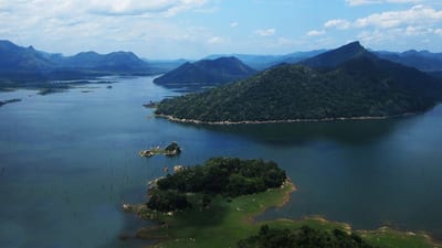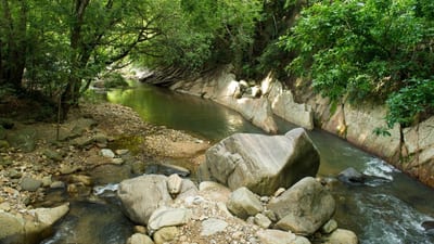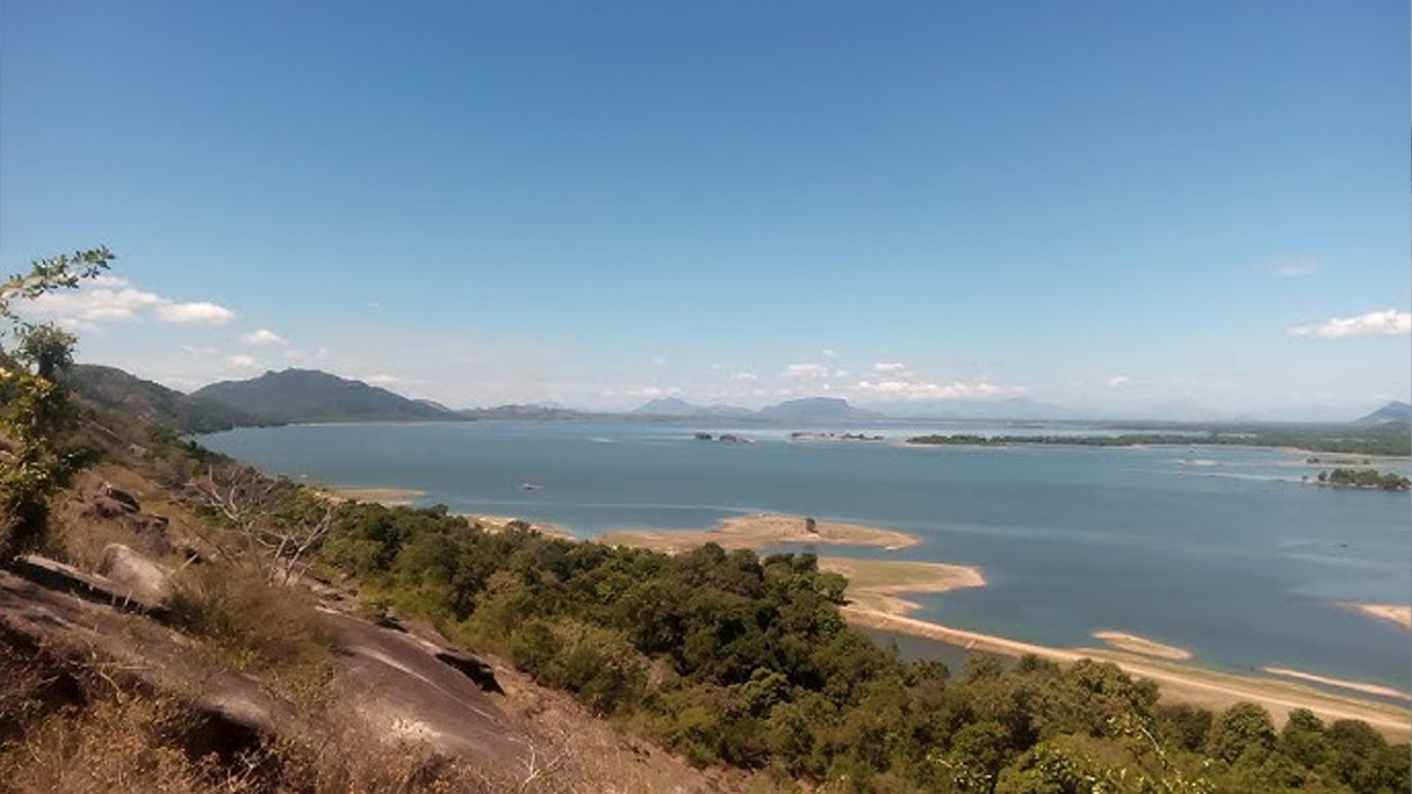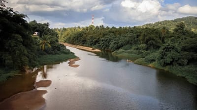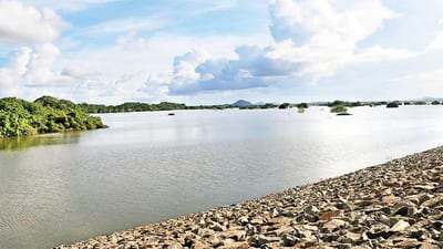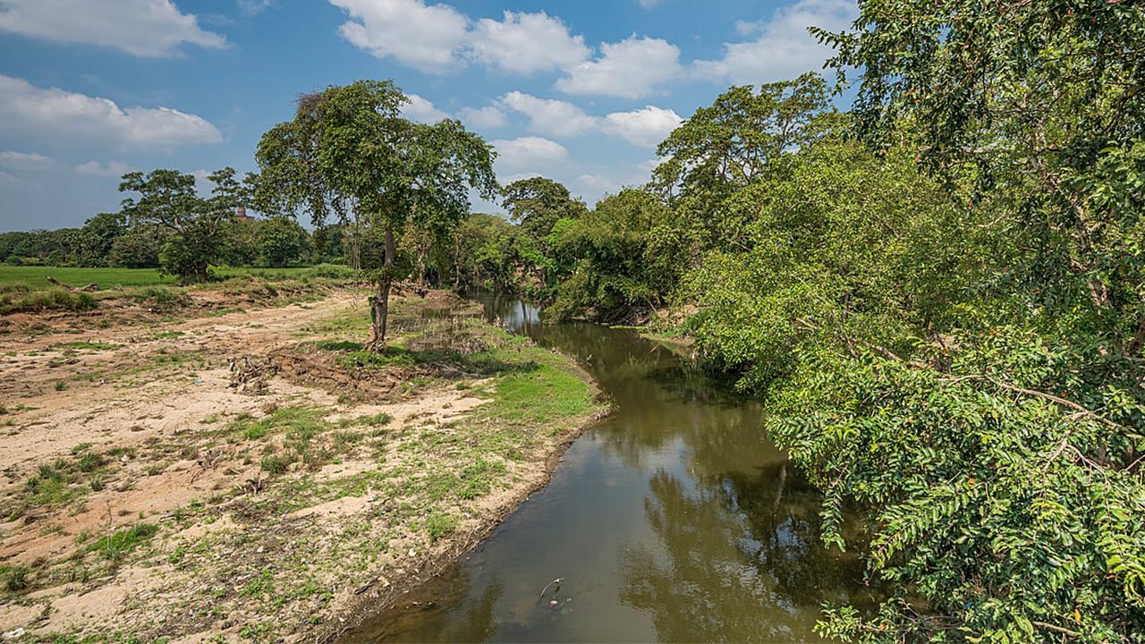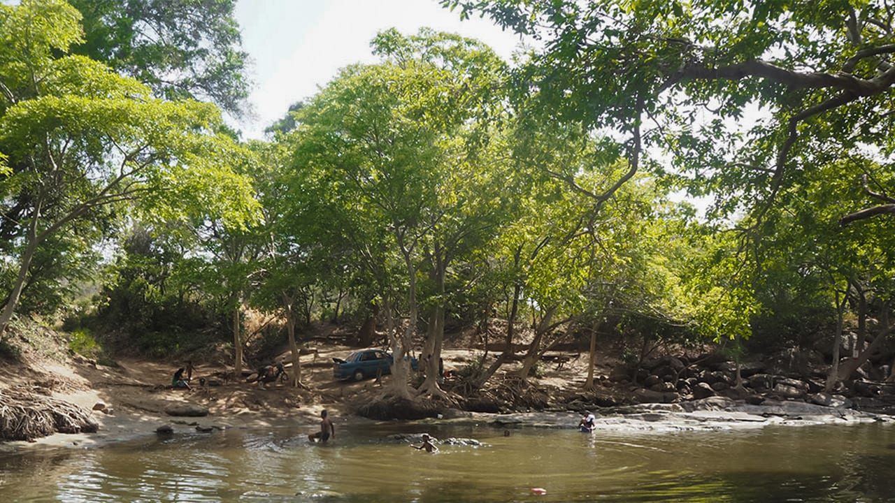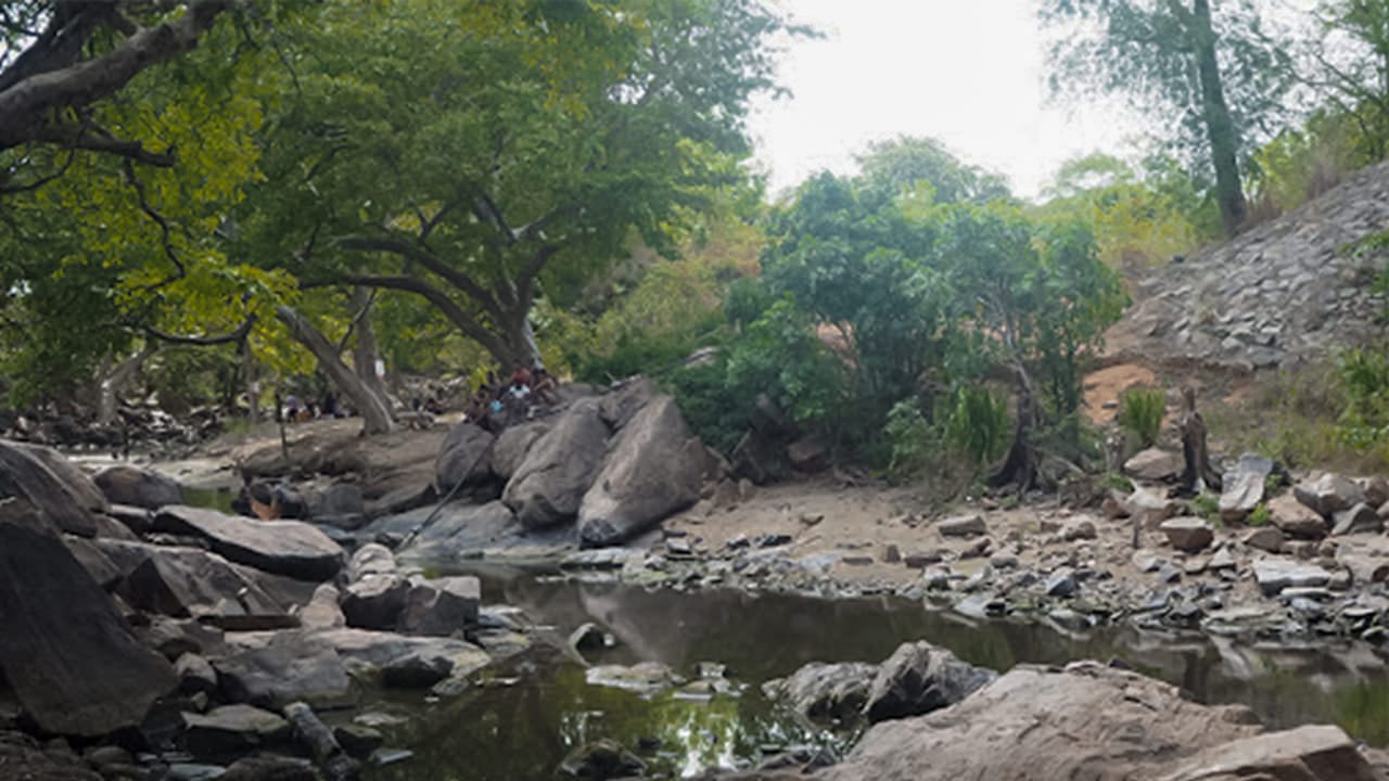

The Malwathu River, also known as Malwathu Oya, flows through the historic heart of Sri Lanka and stands as one of the most culturally significant rivers in the country. Originating near Mihintale and weaving its way across the ancient landscapes of Anuradhapura, the river travels through wide plains, fertile village lands, and archaeological zones before meeting the sea at Mannar. Its journey across the dry zone creates a striking contrast of greenery and open land, shaping the beauty and character of the region.
Historically, the Malwathu River played a central role in developing one of the world's oldest and most sophisticated hydraulic civilizations. The ancient reservoirs of Anuradhapura—such as Nuwara Wewa, Tissa Wewa, and Nachchaduwa Wewa—were nourished by waters from the Malwathu basin. These systems powered agriculture, supported royal capitals, and ensured the sustainability of entire kingdoms. Today, the river continues to be essential for rural farming communities who depend on its seasonal flow for paddy cultivation, freshwater fish resources, and livestock needs.
Ecologically, the Malwathu River enriches the dry zone landscape by supporting wildlife habitats along its banks. Deer, elephants, aquatic birds, and migratory species are commonly found near the wetlands and grasslands connected to the river. As it reaches the coastal zone of Mannar, the river contributes to unique ecosystems that support marine life and specialized bird populations. This ecological richness makes the river important for nature tourism, birdwatching, and conservation activities throughout the region.
Beyond its environmental importance, the Malwathu River remains deeply tied to cultural identity and regional heritage. It flows through areas that once housed great monasteries, royal settlements, and monumental irrigation systems. Villages along the river continue to maintain traditions shaped by centuries of relying on its waters. Today, the river stands not only as a symbol of the ancient past but also as a vital water source that sustains livelihoods and agricultural activity in the dry zone.
Flood Risk & Hydrological Importance
Although the Malwathu River flows mainly through dry regions, it can rise sharply during heavy rainfall, especially when monsoons intensify in its catchment areas. Understanding these hydrological patterns is essential for predicting localized flooding and managing water resources effectively.
- Current Hydrological Readings (Official Report): Thanthirimale gauging station – Alert Level: 5.00 m, Minor Flood Level: 6.80 m, Major Flood Level: 7.80 m. Actual reading: Not Available (gauge inaccessible due to flooding conditions).
- Upper Basin Sensitivity: Rainfall near Mihintale, Kekirawa, and Anuradhapura quickly increases river flow despite the region's overall dry climate.
- Flood-Prone Districts: Localized flooding can affect Anuradhapura, Thanthirimale, and Mannar when sudden monsoon rains elevate water levels.
- Impact on Irrigation Systems: The river feeds channels and tanks that may overflow during peak rainfall, affecting farmlands and nearby settlements.
- Slow Drainage Across Plains: The relatively flat terrain slows water movement, which can cause extended waterlogging in agricultural fields.
- Importance of Water-Level Monitoring: Continuous tracking is essential because even moderate rains can create unexpected rises, particularly near village tanks and irrigation canals.
- Risks to Rural Settlements: Unplanned riverside dwellings and farmlands remain vulnerable during sudden water increases in the northeast monsoon period.
While the Malwathu River is one of the most historically rich and culturally valuable waterways in Sri Lanka, maintaining accurate hydrological monitoring and early-warning systems is essential to protect communities and agriculture from future flood-related risks.
Yakındaki yerler
Yaklaşık 25 km içinde 9 yer, en yakından başlayarak.
- Neriyakulam Railway Station6 km
- Murunkan Railway Station10 km
- Madu Church10 km
- Madhu Road Milli Parkı11 km
- Madhu13 km
- Madhu Road Railway Station13 km
- Cheddiikulam Railway Station15 km
- Cheddikulam15 km
- Thekkama Anicut20 km
İlgili okumalar
Yakından ilgili konularda 4 sayfa.