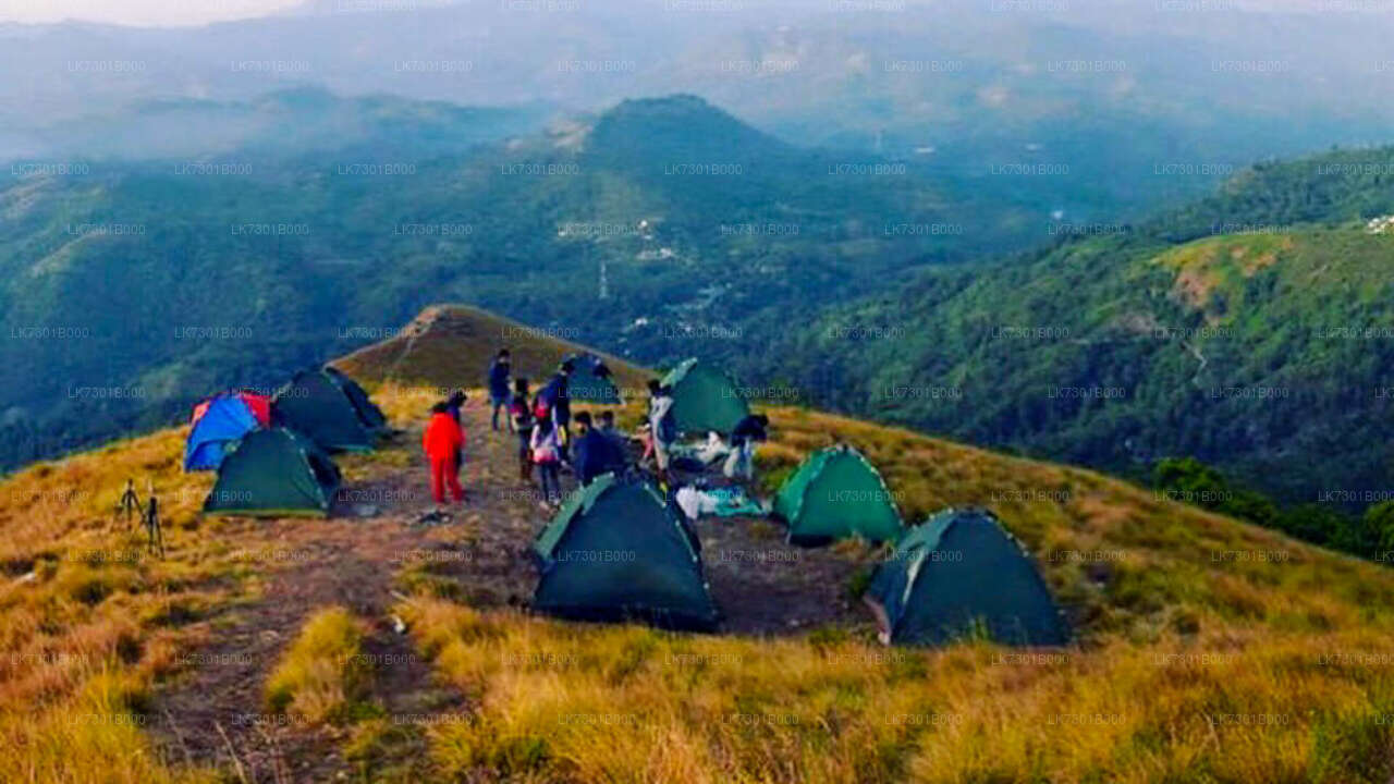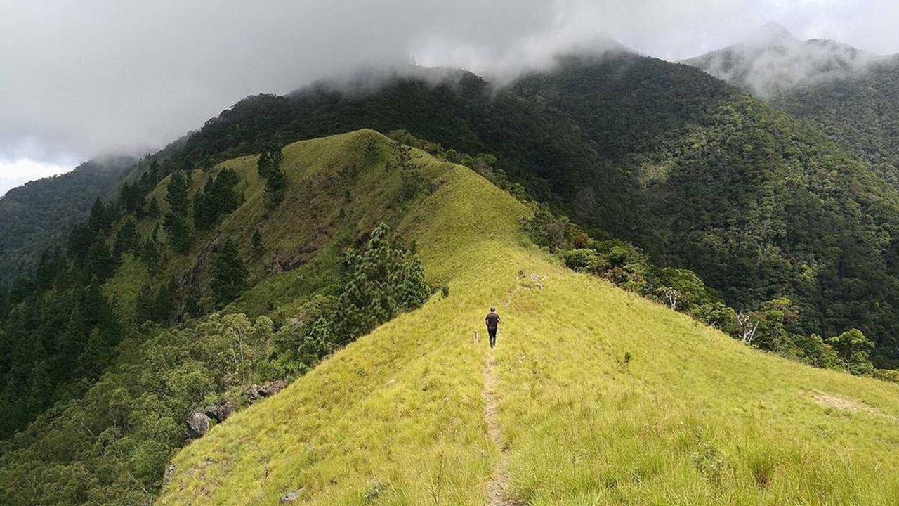

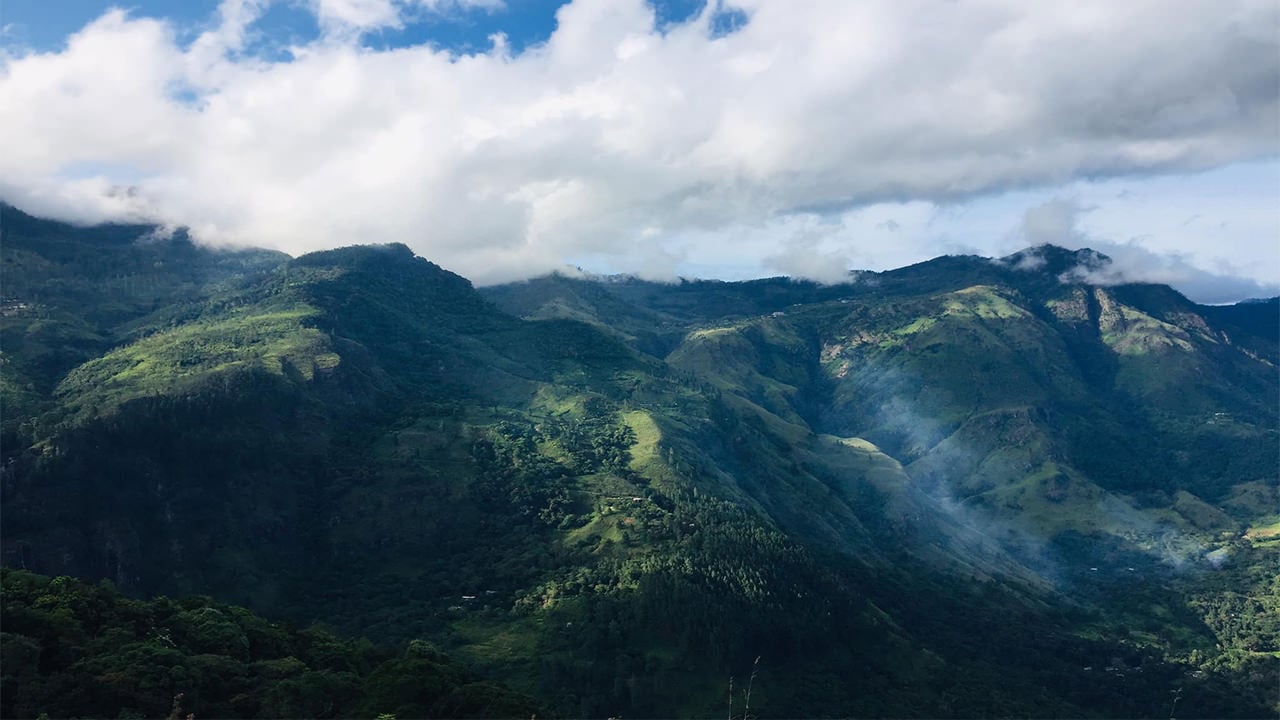
Wangedi Kanda (also written Wangedigala) rises above the misty highlands near Belihuloya, close to the A4 Badulla–Colombo Highway. Its name comes from the Sinhala word wangediya, meaning mortar — a reference to the roughly mortar-shaped hollow that crowns the mountain. The summit plateau doubles as one of the more rewarding natural campsites in the Hill Country, offering wide-open views that stretch from the cascades of Bambarakanda and Lanka Ella all the way toward the Ohiya plateau.
What makes Wangedi Kanda worth hiking?
Most Sri Lankan peaks demand that you choose between a scenic summit and a comfortable camp. Wangedi Kanda delivers both. The top of the mountain opens into a natural, relatively flat clearing that is sheltered enough for overnight tents yet elevated enough to give unobstructed panoramas on a clear morning. Hikers frequently time their ascent to arrive before dusk, watch the sun drop behind the Central Highlands, then wake to a cool mist-shrouded dawn above the cloud line.
The surrounding forest corridor also connects the area ecologically to nearby protected zones. On the trail you can expect to pass through patches of sub-montane forest with tall canopy trees, tree ferns, and abundant birdlife typical of the Wet Zone foothills. Horton Plains National Park, one of Sri Lanka's premier highland reserves, lies within a relatively short driving distance and pairs well with a Wangedi Kanda trip.
How do I get to Wangedi Kanda from Colombo?
The standard approach is to travel along the A4 Colombo–Batticaloa Highway toward Belihuloya, a journey of roughly 160 km from Colombo that takes around four to five hours depending on traffic. From Belihuloya, take the Kalupahana–Ohiya Road for approximately 3.2 km to reach the main trailhead area near the Kalupahana Black and White Bridge.
- By bus: Intercity buses from Colombo Fort to Badulla stop at Belihuloya. From there, a three-wheeler can take you to the Kalupahana junction.
- By private car or taxi: The most flexible option, allowing an early start for the hike. The road to Kalupahana is sealed and manageable for standard vehicles.
- By train: The Colombo–Badulla line stops at Haputale and Ohiya; from either station you can arrange a vehicle toward Belihuloya.
Which trail route is recommended?
Several unofficial trails lead up the mountain, but the Kalupahana Black and White Bridge route is consistently regarded as the clearest and most direct. It is the route most local guides will take you on, and the one where path markers (such as they are) are most visible.
Be aware that some sections of the trail have eroded or become overgrown, particularly after heavy rain. The climb itself is steep in places — hikers frequently need to grip tree roots and branches to haul themselves up exposed sections. Proper footwear with ankle support is essential. A guide familiar with the mountain is strongly advisable for first-time visitors, since the trail is not waymarked to modern trekking standards and partial paths can mislead.
How difficult is the Wangedi Kanda hike?
The hike is rated moderate to challenging. The ascent is steep throughout, with very few flat sections to recover on, and certain pitches require hands-on scrambling. Expect to spend roughly two to three hours climbing, depending on fitness level and how often you stop. The descent takes less time but demands careful footing on slippery roots and loose soil.
| Factor | Details |
|---|---|
| Difficulty | Moderate to challenging |
| Estimated ascent time | 2–3 hours |
| Terrain | Steep forest trail; root and branch scrambling |
| Best starting time | Early morning (5–6 am) for camping; afternoon for day hike |
| Nearest town | Belihuloya (~3.2 km from trailhead) |
What can I see from the summit of Wangedi Kanda?
On a clear day the summit plateau offers one of the more panoramic vantages in the southern Hill Country. Bambarakanda Falls — Sri Lanka's tallest waterfall at around 263 metres — is visible from the top, as is Lanka Ella Falls. The Ohiya escarpment forms the horizon to the north-east, and on very clear mornings the ridgelines of the central ranges pile up in layers behind it.
Sunrises from the camp are particularly striking. The valley below fills with mist overnight, and by dawn the higher peaks appear as islands above a white sea. This is the main reason most visitors choose to camp rather than do a day return.
What should I bring for camping at Wangedi Kanda?
Temperatures at this elevation drop considerably at night, often into the low teens Celsius even in the dry season. Pack accordingly.
- Lightweight sleeping bag rated for 10–15°C
- Tent or bivouac shelter (the summit is open; wind can pick up)
- Sufficient water — there is no reliable water source on the mountain
- Headlamp with spare batteries for pre-dawn starts
- Rain jacket (weather changes quickly in the highlands)
- High-energy snacks and enough food for the overnight stay
- A basic first-aid kit
Carry out all waste. Wangedi Kanda is not a managed park with facilities, so campers are responsible for leaving the site clean.
Is there a best season to visit Wangedi Kanda?
The area around Belihuloya receives significant rainfall during both monsoon seasons. The most reliable windows for clear summit views are typically from January to early April and again from August into September. During the south-west monsoon (May–July) the trails can be waterlogged and visibility at the top is often poor. That said, some experienced hikers enjoy the atmospheric cloud-forest conditions outside the dry windows — just expect wetter, muddier conditions and reduced views.
What else can I combine with a Wangedi Kanda trip?
Belihuloya and the surrounding Ohiya corridor are rich in natural attractions. Bambarakanda Falls is an easy excursion from the base, and the Ella area — with its own trail network and iconic Nine Arch Bridge — is within a manageable drive. The Sinharaja Forest Reserve, Sri Lanka's UNESCO-listed rainforest, is also accessible from the southern lowlands below this range and makes a natural extension to a highlands itinerary.
Nearby places
9 places within about 25 km, nearest first.