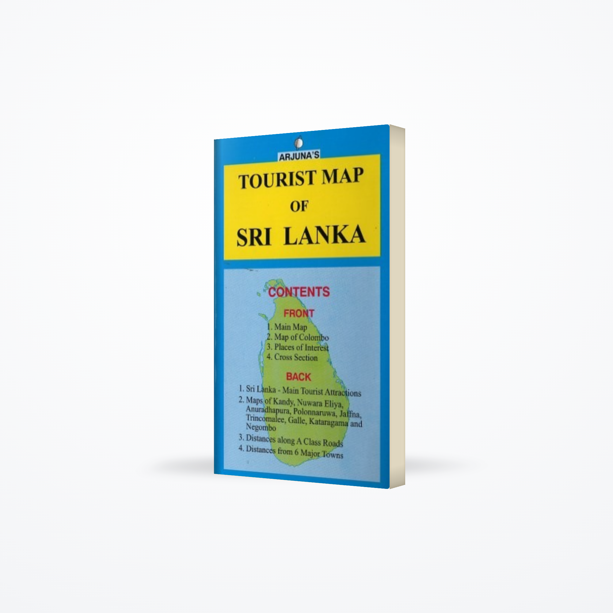
Sri Lanka packs an extraordinary range of landscapes, cultures, and ecosystems into an island roughly the size of Ireland. Navigating it well — whether you are planning a two-week itinerary or a spontaneous detour — begins with understanding how its regions connect. This guide walks through the island's key geographic zones, transport corridors, and points of interest so you can orientate yourself before you arrive and adapt on the road.
How is Sri Lanka divided geographically?
Sri Lanka has nine provinces, each with its own character. The Western Province contains the commercial capital Colombo and the coastal city of Negombo, and is the most densely connected by road and expressway. The Central Province rises into the highlands around Kandy and Nuwara Eliya, where tea estates terrace the hillsides. The Southern Province stretches along a coastline of surf beaches and historic Galle. The North Central Province holds the ancient city heartland — Anuradhapura and Polonnaruwa — surrounded by tank-fed dry-zone plains.
The Eastern Province faces the Indian Ocean with calmer seas from April to September, making it the island's off-season diving and beach alternative. The Northern Province, anchored by Jaffna, has its own Tamil cultural identity and is increasingly accessible after years of limited tourism infrastructure. The Uva Province in the southeast contains highland gems like Ella and the cloud-draped Horton Plains National Park.
What are the main road and rail routes through Sri Lanka?
The A1 highway forms the spine of the island, running from Colombo north to Kandy and continuing toward Jaffna. The Southern Expressway (E01) connects Colombo to Matara in roughly two hours, slashing what was once a four-hour coastal drive. A spur of the expressway extends toward Hambantota in the deep south.
Rail travel runs on narrow-gauge tracks and is slower than driving but far more scenic. The Hill Country line from Kandy to Badulla — passing Ella — is considered one of the world's great train journeys. The Coastal Line hugs the southwest shore from Colombo down to Matara. For getting around independently, hiring a private driver or using taxis and private drivers arranged through a DMC gives you the flexibility to stop at viewpoints and smaller sites that buses bypass.
Where are Sri Lanka's main wildlife areas on the map?
Wildlife zones cluster in three broad belts. In the northwest, Wilpattu National Park is the largest national park by area, renowned for leopard sightings around its natural lakes (villus). In the south-centre, Udawalawe National Park borders the Sabaragamuwa and Southern provinces and offers some of the most reliable elephant encounters in Asia. Adjacent to Udawalawe, the Elephant Transit Home rehabilitates orphaned calves before releasing them into the wild.
In the wet-zone southwest, the Sinharaja Forest Reserve — a UNESCO World Heritage site — protects a tract of primary lowland rainforest that is home to over half of Sri Lanka's endemic bird species. Further east and at higher elevation, the Makandawa Rainforest (Makandawa Forest Reserve) near Kithulgala draws birders and nature walkers.
- Northwest: Wilpattu National Park, Anawilundawa Sanctuary
- North Central: Minneriya, Kaudulla, Wasgomuwa National Parks
- Southeast: Yala, Bundala, Kumana National Parks
- South-central: Udawalawe National Park, Elephant Transit Home
- Wet zone: Sinharaja Forest Reserve, Makandawa Rainforest, Kitulgala
What historical and religious sites should I locate on the map?
Sri Lanka's Cultural Triangle — roughly the area bounded by Kandy, Anuradhapura, and Polonnaruwa — concentrates the island's most significant ancient monuments. Sigiriya, the 5th-century rock fortress, rises from the dry-zone plains at the triangle's centre. Polonnaruwa, the medieval royal capital, lies an hour's drive to the east. Anuradhapura, the oldest of the ancient capitals, sits to the northwest.
Kandy, though more recent in origin, holds the Temple of the Tooth Relic (Sri Dalada Maligawa) and hosts the annual Esala Perahera Festival, one of the largest Buddhist processions in Asia. Along the southwest coast, the 17th-century Dutch colonial fort at Galle anchors a well-preserved UNESCO-listed old town. Smaller but equally evocative sites include the Dutch Fort in Negombo and the Colombo Lotus Tower, now the city's tallest landmark.
Where are the main diving and coastal sites?
Sri Lanka's coastline runs for around 1,340 km and changes character depending on season and exposure. The southwest coast — from Negombo south through Colombo, Hikkaduwa, and Galle — is calmer from November to April, making it the principal tourist season for beach and water activities. Hikkaduwa's reef and Pigeon Island near Trincomalee are among the most established dive sites, while deep-water big-fish encounters are possible year-round off the south coast through operators offering deep sea fishing.
The east coast — Trincomalee, Pasikudah, Arugam Bay — comes into its own between April and September when the southwest monsoon makes the other coast choppy. Trincomalee's natural harbour is one of the deepest in the world and is surrounded by sheltered bays with clear water. Further south, the lagoons and mangrove waterways of the Madu Ganga near Balapitiya offer a gentle inland water experience rather than open-sea diving.
What agricultural and plantation regions should travellers know about?
Sri Lanka's economic geography shapes its landscape as much as its geology. The Hill Country — Nuwara Eliya, Dimbula, Uva, Kandy districts — contains the great tea-producing estates. Visiting a working estate such as Bluefield Tea Gardens gives context to the Ceylon tea you will find in every guesthouse. The lowland wet zone to the southwest produces coconut, rubber, and spices including Ceylon black pepper.
Rice paddies (known locally as kumbura) pattern the river valleys across the island, most visibly in the North Central dry zone where ancient irrigation tanks fed agriculture for over two millennia. The coastal belt between Colombo and Galle is dense with coconut groves — pol (coconut) is a staple ingredient in Sri Lankan cooking.
How do city tours help with orientation?
If you arrive in Colombo and want to get your bearings quickly, a structured Colombo city tour covers the Fort district, Pettah market, Galle Face Green, and the colonial-era architecture of the city centre in a half day. For travellers heading straight to the Cultural Triangle, a Kandy city tour serves as the ideal gateway introduction before venturing deeper into the highlands or north toward the ancient cities.
The south coast's principal historic town warrants its own half-day exploration: a Galle city tour takes in the Dutch fort ramparts, the lighthouse, and the bazaar streets within the walls. Each city tour works as a standalone experience or as part of a longer island circuit.
What are the key distances between major destinations?
| Route | Approximate Distance | Typical Drive Time |
|---|---|---|
| Colombo → Kandy | Around 115 km | 2.5–3.5 hours |
| Colombo → Galle (Expressway) | Around 120 km | 1.5–2 hours |
| Kandy → Sigiriya | Around 85 km | 2–2.5 hours |
| Sigiriya → Polonnaruwa | Around 60 km | 1.5 hours |
| Colombo → Udawalawe | Around 185 km | 3–4 hours |
| Kandy → Ella (by road) | Around 140 km | 4–5 hours |
| Colombo → Trincomalee | Around 260 km | 5–6 hours |
Drive times are indicative and can vary significantly with traffic around Colombo and road quality in highland sections. The train between Kandy and Ella, while slower, removes the mountain-road driving challenge and is often the preferred option for independent travellers.
How should I plan a route around the island?
A classic two-week circuit moves counterclockwise from Colombo: north to Negombo and Wilpattu, then east to Anuradhapura, Sigiriya, and Polonnaruwa, south to Kandy and the Hill Country (Nuwara Eliya, Ella), then west along the south coast through Yala, Galle, and Hikkaduwa before returning to Colombo. This route balances cultural sites, wildlife, highlands, and beaches while following the road network logically.
Shorter itineraries typically anchor on one or two zones: the Cultural Triangle alone can fill five to six days, while the south coast and hill country together suit a ten-day trip. Lakpura's team can tailor a routing that avoids seasonal weather patterns — the northeast monsoon typically affects the east coast from October to January, while the southwest monsoon brings rain to the west coast from May to September.
Related reading
1 pages on closely related subjects.