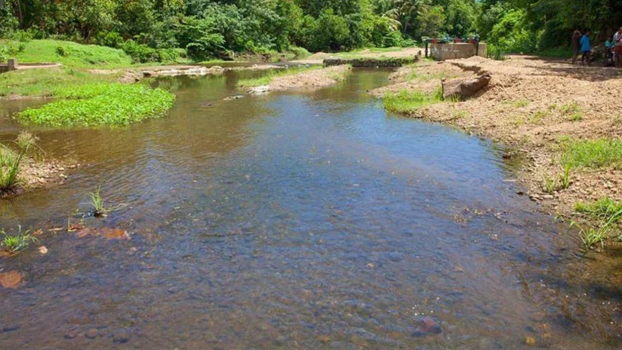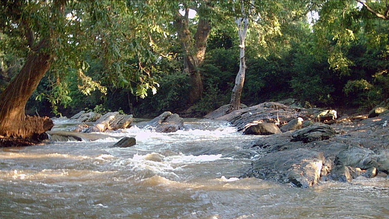
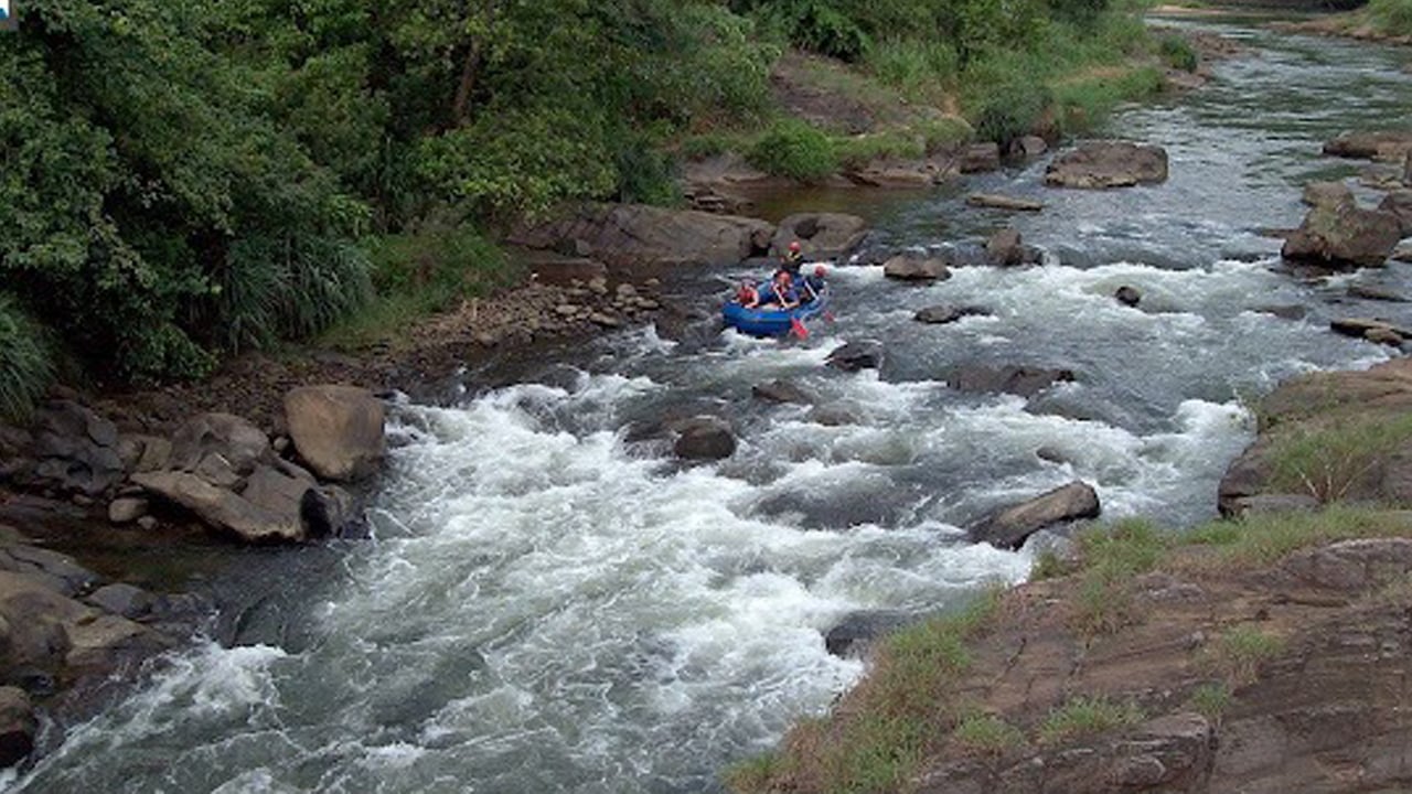

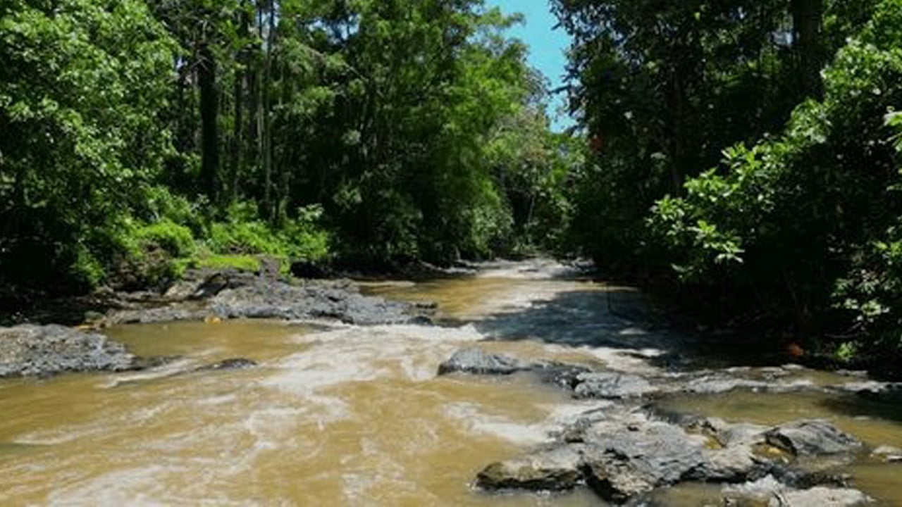

Kirindi Oya is one of Southern Sri Lanka's most consequential rivers. Rising in the central highlands, it travels southward through the dry zone before emptying near the coast close to Hambantota. Along that journey it passes through paddy-farming heartlands, wildlife-rich wetlands, and communities whose daily lives have been shaped by its flow for centuries. Understanding this river is worthwhile for any traveller exploring the southern and southeastern reaches of Sri Lanka.
Where does Kirindi Oya flow and what does it drain?
The river originates in the hill country and descends through the Uva and Southern provinces, cutting across a landscape that shifts from moist montane forest to arid scrubland. Its lower reaches pass near Tissamaharama before the river meets the coast in the Hambantota district. The catchment spans a significant portion of Sri Lanka's southeastern dry zone, collecting rainfall from both the Southwest and Northeast Monsoons at different points along its course.
Several tributaries feed the main channel, and the combined catchment is large enough that rainfall events in the highlands can raise water levels at downstream monitoring stations within hours — a fact that shapes how communities along the river plan their farming calendar.
How does Kirindi Oya support agriculture in the Southern Province?
The river is the backbone of irrigation across a wide swathe of the Southern dry zone. Storage reservoirs in its basin — including the Kirindi Oya Reservoir — capture monsoon runoff and release it through traditional irrigation channels during the dry season. This system sustains paddy cultivation across extensive low-country fields, along with vegetable plots and coconut smallholdings.
Tissamaharama, the largest town in the upper coastal plain of the basin, owes much of its agricultural productivity to these irrigation works. The paddy field landscapes visible around the town are a direct result of water management practices that trace back to ancient Sinhalese hydraulic engineering. Farmers in the region time their cultivation seasons — maha (October to March) and yala (April to September) — according to the water levels held in these reservoirs.
What wildlife lives in the Kirindi Oya basin?
The river corridor hosts a surprisingly rich mosaic of habitats for such an arid region. As the channel approaches the coast it broadens into shallow lagoons, reed beds, and saltwater marshes, creating prime conditions for waterbirds. Painted storks, open-billed storks, cormorants, and several species of egret are regularly recorded here. Crocodiles are present in slower-stretching sections of the river — a reminder that this is still a working wild ecosystem.
The wetlands at the river's mouth contribute to a coastal zone that blends seamlessly with the protected landscapes to the east. Yala National Park's western boundary lies close to the lower Kirindi Oya catchment, and wildlife — particularly elephants and deer — move between the river's riparian strips and the park's interior. The Elephant Transit Home at Udawalawe, while on a different river system, reflects the broader conservation commitment across this part of Sri Lanka.
Bird watchers visiting the Tissamaharama tank area, which lies within the Kirindi Oya basin, consistently record over a hundred species in a single morning during the northern winter, when migratory waders and ducks join the resident community.
What is the flood risk along Kirindi Oya?
Like most rivers in Sri Lanka's dry zone, Kirindi Oya is subject to flash flooding when intense rainfall strikes its upper catchment. The river's natural gradient means it can rise quickly at downstream stations. Sri Lanka's Irrigation Department monitors water levels at several points along the channel; the Thanamalwila station is one key reference point used by water managers and civil authorities.
- Southwest Monsoon (May–September): heavy rainfall in the central hills pushes water volumes up rapidly, putting low-lying paddy land and river-bank settlements at risk.
- Northeast Monsoon (November–January): the lower catchment receives direct rainfall, which can compound water already released from reservoir spillways.
- Coastal plain drainage: as the river flattens approaching Hambantota, its gradient decreases, making drainage slower and prolonging waterlogging in flood years.
Flood-prone zones are concentrated around Tissamaharama, parts of Hambantota district, and any low-lying farmland adjacent to the main channel. The Irrigation Department's real-time gauging network is the authoritative source for current water-level data during the monsoon.
How does Kirindi Oya fit into the cultural landscape of the South?
The river's practical importance has given it a quiet but deep presence in local culture. Communities along its banks organise their annual rhythm around its water — when reservoirs fill, when sluice gates open, when fields are planted. Religious and agricultural festivals tied to the harvest season are common in Tissamaharama and surrounding villages.
Historically, the southern dry zone's irrigation civilisation parallels the better-known hydraulic achievements at Polonnaruwa in the north-central province. Both traditions reflect an ancient understanding of how to store and distribute scarce water across a seasonal climate — knowledge that communities along Kirindi Oya continue to rely on today.
What can travellers experience near Kirindi Oya?
Most visitors encounter the Kirindi Oya basin as part of a broader exploration of southern Sri Lanka rather than as a destination in its own right. Tissamaharama is the natural base: a compact town with a handsome ancient stupa, a large tank teeming with waterbirds, and easy access to Yala National Park for game drives. The drive between Tissamaharama and Hambantota passes through the lower river plain, offering glimpses of the river's braided channels and the farmland it supports.
For those interested in wetland ecology and crocodile watching, the slower backwaters near the river's lower course can be explored by boat during the dry season. Birdwatching at Tissamaharama tank — technically a reservoir within the wider basin — is a rewarding activity that requires nothing more than an early start and a pair of binoculars.
How do I get to the Kirindi Oya region from Colombo?
Tissamaharama, the main town within the basin, lies roughly 270 km southeast of Colombo. The most comfortable approach is by private car via the Southern Expressway (A2 highway), a journey of around four to five hours depending on traffic. Public buses connect Colombo to Tissamaharama via Matara, though journey times are longer. There is no passenger rail service directly to Tissamaharama; the nearest rail junction is at Matara on the southern coast.
Hambantota, near the river's mouth, is served by the same Southern Expressway route and is approximately 30–40 minutes from Tissamaharama by road.
When is the best time to visit the Kirindi Oya basin?
The dry season between February and July offers the most reliable conditions for wildlife viewing and outdoor exploration. Water levels are lower during these months, concentrating animals around remaining water sources — particularly around Yala and the Tissamaharama tank. Waterbird numbers are at their peak from November through March, when migratory species arrive.
Avoid the height of the Northeast Monsoon (November to January) if you plan game drives at Yala, as the park sometimes closes sections during heavy rain. The river basin itself is most dramatic after the rains, when reservoirs are full and the plains briefly turn green — a striking contrast to the usual gold-and-brown palette of the dry zone.
Nearby places
8 places within about 25 km, nearest first.
- Mattala Cityunder 1 km
- City to Mattala Airport Transfersunder 1 km
- Mattala Rajapaksa International Airportunder 1 km
- Mattala Airport Taxiunder 1 km
- Lunugamvehera National Park5 km
- Madunagala Hot Springs7 km
- Weerawila Lake7 km
- Mattala Airport to City Transfers10 km
Related reading
2 pages on closely related subjects.