
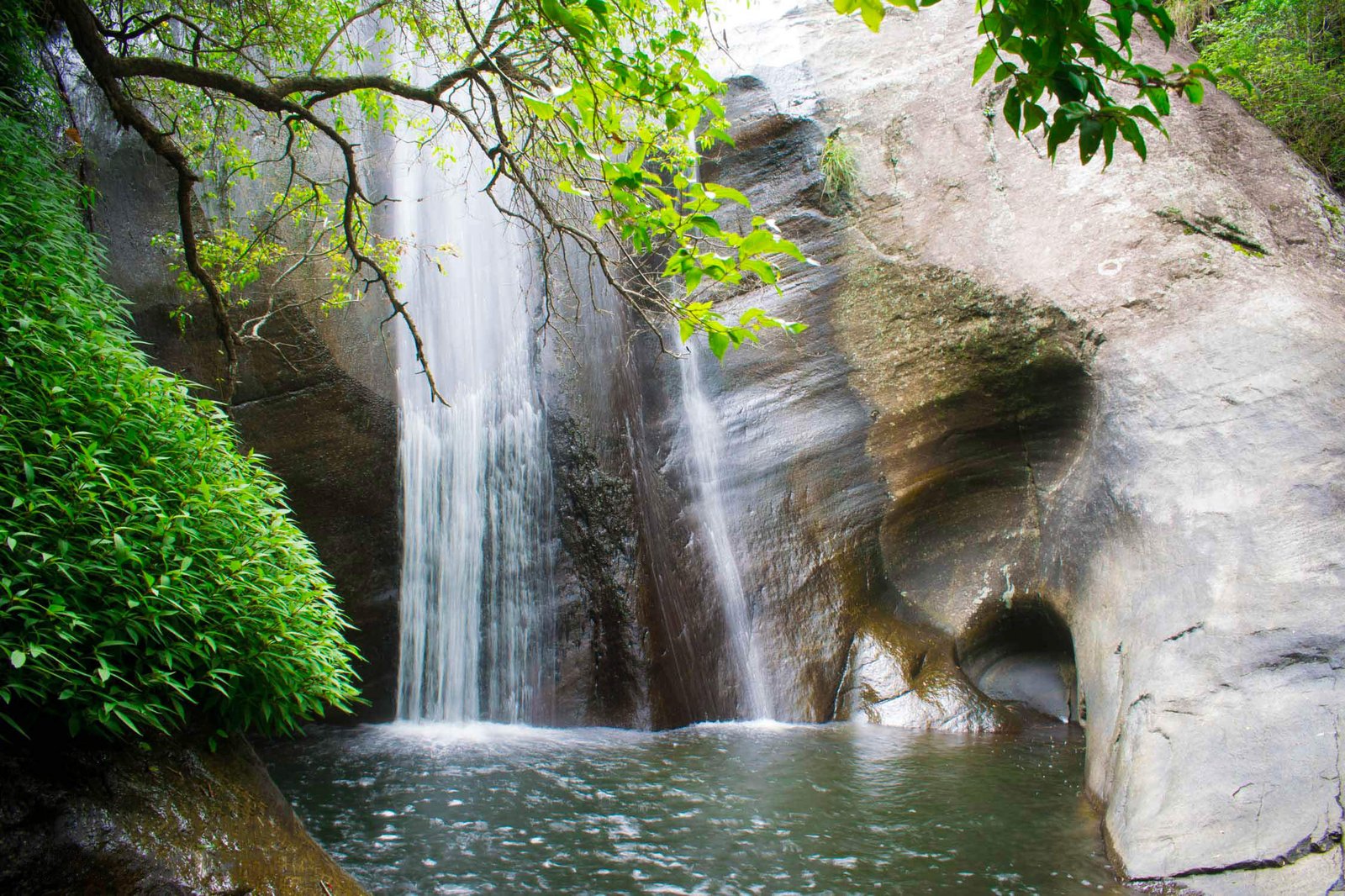
The Devil's Staircase is one of Sri Lanka's most demanding — and rewarding — mountain routes. Stretching roughly 14 km through the central highlands, it links the Ohiya area near Horton Plains National Park with the A4 Main Road at Kalupahana, carving a path of sharp, steep zig-zags across ridge lines, through tea country, and past the headwaters of Bambarakanda Falls. The name is earned honestly: every bend tests your legs, your lungs, or your nerve.
What is the Devil's Staircase route?
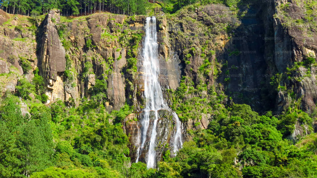
The trail runs between two anchor points. At the southern end, the A4 at Kalupahana connects to the broader Southern Highlands road network; a short detour from here leads to Bambarakanda Falls, Sri Lanka's tallest waterfall. At the northern end, the Ohiya Road sits close to the edge of Horton Plains. The route passes through privately managed tea estates, across narrow mountain ridges, and beside a stream that feeds Bambarakanda Falls before the watercourse drops away below the trail.
One of the most photographed features along the way is the "V Cut" — a channel carved through a hillside, reportedly long ago, to allow the route to pass without scaling the summit. It is a tight, dramatic passage that gives some sense of how the trail came to exist in the first place.
| Detail | Information |
|---|---|
| Total length | Approximately 14 km |
| Start points | Bambarakanda Rest (southern) or Ohiya Road (northern) |
| Typical hiking duration | Dawn to around 4 pm (full day) |
| 4WD duration | Around 4 hours |
| Terrain | Steep zig-zags, narrow ridges, uneven surface, tea estate tracks |
| Nearest towns | Ohiya, Kalupahana, Bambarakanda |
How difficult is the Devil's Staircase hike?
This is a strenuous route, not a casual nature walk. The gradient is steep and sustained in both directions, which means neither uphill nor downhill is the "easy" option — they simply place different demands on your body. Going uphill from Bambarakanda puts pressure on your cardiovascular system; coming down from Ohiya requires leg strength and controlled movement to stay sure-footed on the uneven surface.
The trail is not marked to international trekking standards, and it is easy to take a wrong fork, particularly in low cloud or rain. A knowledgeable local guide is strongly recommended. Parts of the route are wide enough for a 4WD vehicle, though the surface makes for a slow and bumpy passage regardless of direction.
What should I pack for the Devil's Staircase?
- Footwear: Sturdy hiking boots with ankle support — the terrain is rocky and can be slippery after rain.
- Clothing: Layers are essential. Temperatures in this part of the highlands can drop sharply, particularly in the early morning and at altitude.
- Rain protection: Ohiya is one of the wetter corners of the highlands. A compact, packable rain jacket is not optional.
- Water and food: There are no refreshment stops on the trail. Carry enough water for a full day and pack energy-dense snacks.
- Torch or headlamp: Useful if you start before sunrise or if cloud reduces visibility unexpectedly.
- Guide: Not strictly mandatory, but highly advisable given the trail's complexity and remoteness.
When is the best time to hike the Devil's Staircase?
The highlands around Ohiya receive heavy rainfall during both monsoon periods, and the trail becomes significantly more hazardous when wet. The driest and most stable weather typically falls between January and April, and again around July to September, though conditions in the hills can change within hours at any time of year. Starting at first light maximises your hiking window and gives you the best chance of clear views from the ridges before afternoon cloud builds.
The Ohiya and Kalupahana area sits at high elevation, so even during the dry season, mornings are cool. Do not assume equatorial warmth just because you are in Sri Lanka.
What can I see along the Devil's Staircase?
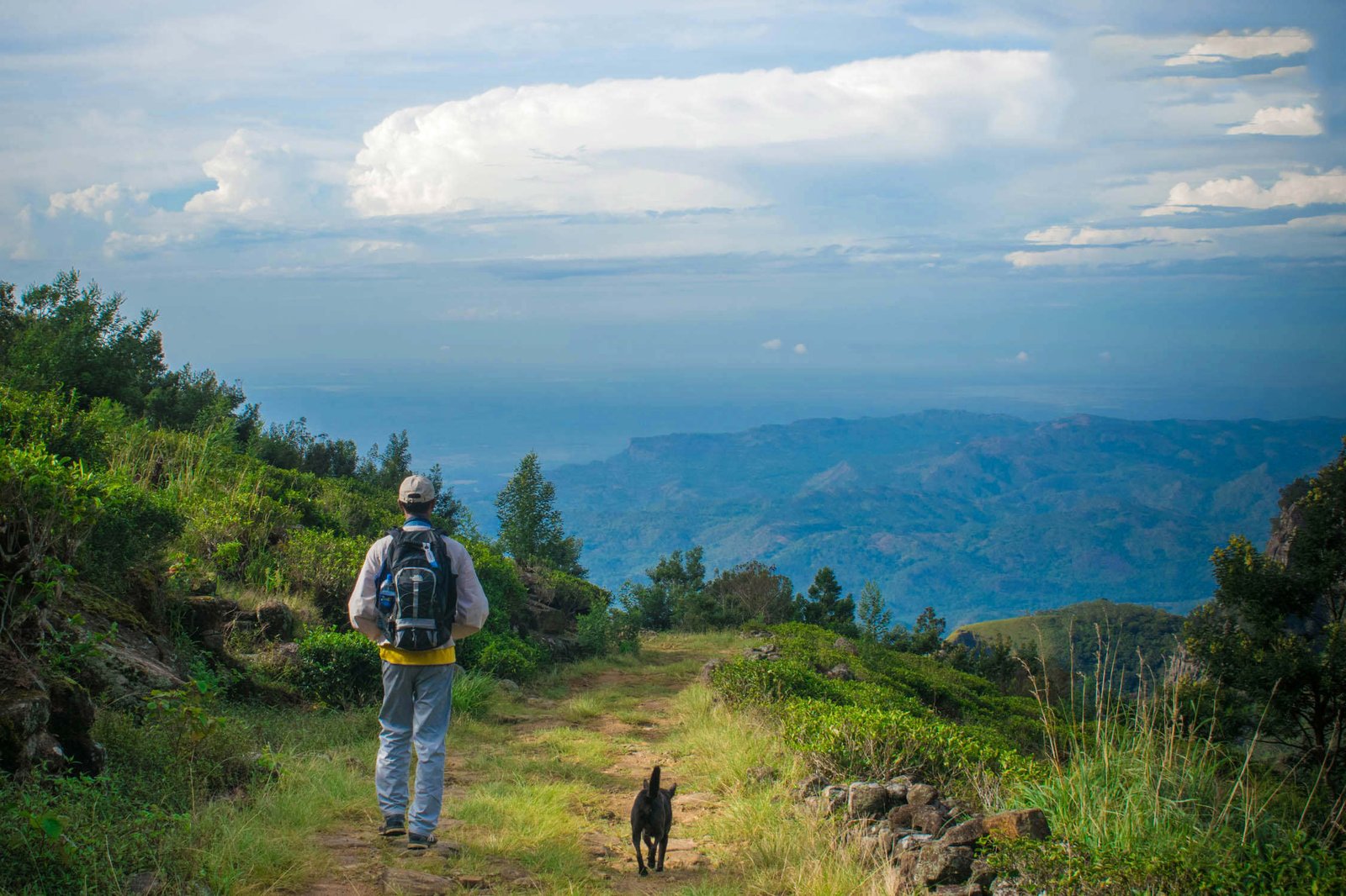
Beyond the physical challenge, the trail has genuine points of interest. Near the Bambarakanda end, the stream that forms the falls is visible and audible — it is a good moment to pause before the gradient takes hold. The ridge sections open onto wide views: valleys dropping away to the south, the mountain mass rising to the north. Along the way, hikers typically encounter a natural spring-fed pool suitable for a brief rest, and a small Hindu/Buddhist shrine used by local communities.
The tea estate sections near the Ohiya end offer a contrasting, almost pastoral atmosphere after the raw highland terrain. The neat rows of Ceylon green tea bushes against the mist are a recognisable Central Highland image. The V Cut marks the transition into this final stretch — a carved channel through rock that feels like a gateway between two different landscapes.
Can I do the Devil's Staircase by bicycle?
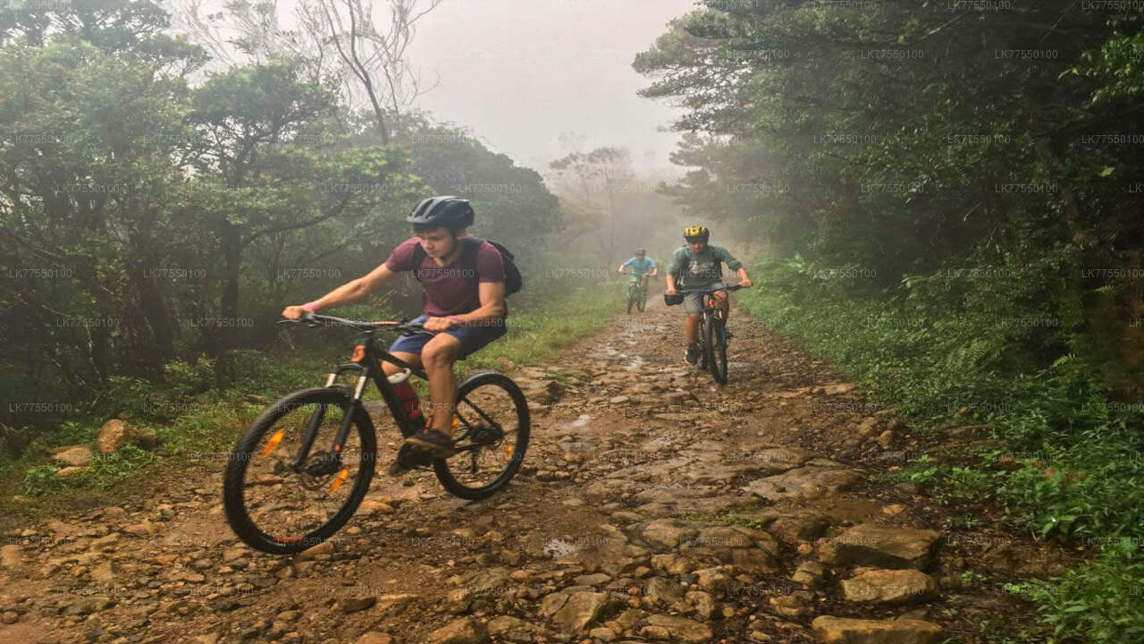
The route can be attempted on a mountain bicycle, though this is firmly in the category of technical off-road riding rather than leisure cycling. The surface is uneven, sections are steep enough to require dismounting, and the descent demands strong braking and good bike handling. Experienced riders who are comfortable on rough terrain in remote conditions find it a compelling challenge; casual cyclists should not attempt it without proper preparation and local knowledge.
How do I get to the start of the Devil's Staircase?
Most visitors approach from Ella, which is well connected by road and by the scenic highland railway. From Ella, Bambarakanda Rest near the waterfall is around 30 km by road — a private transfer is the most practical option given that public transport to the trailhead is limited. If starting from the Ohiya end, the Ohiya railway station on the Colombo–Badulla line is the nearest public transport point, a short distance from where the trail meets the road.
Nearby places
9 places within about 25 km, nearest first.
- Ohiya Cityunder 1 km
- Ohiya Railway Station3 km
- Wangedi Kanda4 km
- Samanalawewa Reservoir and Dam4 km
- Idalgashinna Railway Station4 km
- Palle malaya4 km
- Pattipola7 km
- Nedungamuwa City7 km
- Welimada10 km